
Date Published: May 25th, 2026 | Last Updated: May 25th, 2026
Author: Abby | Category: Travel, USA
Date of travel: Feb 8th, 2026
Fredericksburg and Spotsylvania National Military Park is a massive historic park operated by the National Park Service. It commemorates four major battles in the American Civil War: Fredericksburg, Chancellorsville, The Wilderness, and Spotsylvania. Of these 4, the most notable one is the Battle of Fredericksburg at Sunken Road, which will be the focus of this article.
Note: To be honest, if you’re not into American history and you have limited time, then you’re probably going to find this kind of boring. We’re not history buffs, but we found it pretty cool to walk amongst this place and seeing the stone wall along the Sunken Road.
Visitor Info:
Location: 1013 Lafayette Boulevard, Fredericksburg, VA 22401 (takes you to the visitor’s center)
Hours: sunrise to sunset, the visitors center is open 9am-5pm
Website: https://www.nps.gov/frsp/planyourvisit/directions.htm
Cost: free
A little background info:
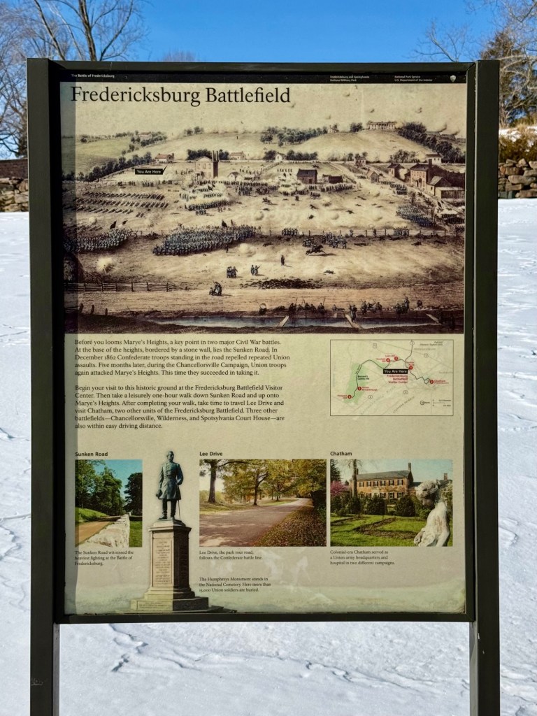
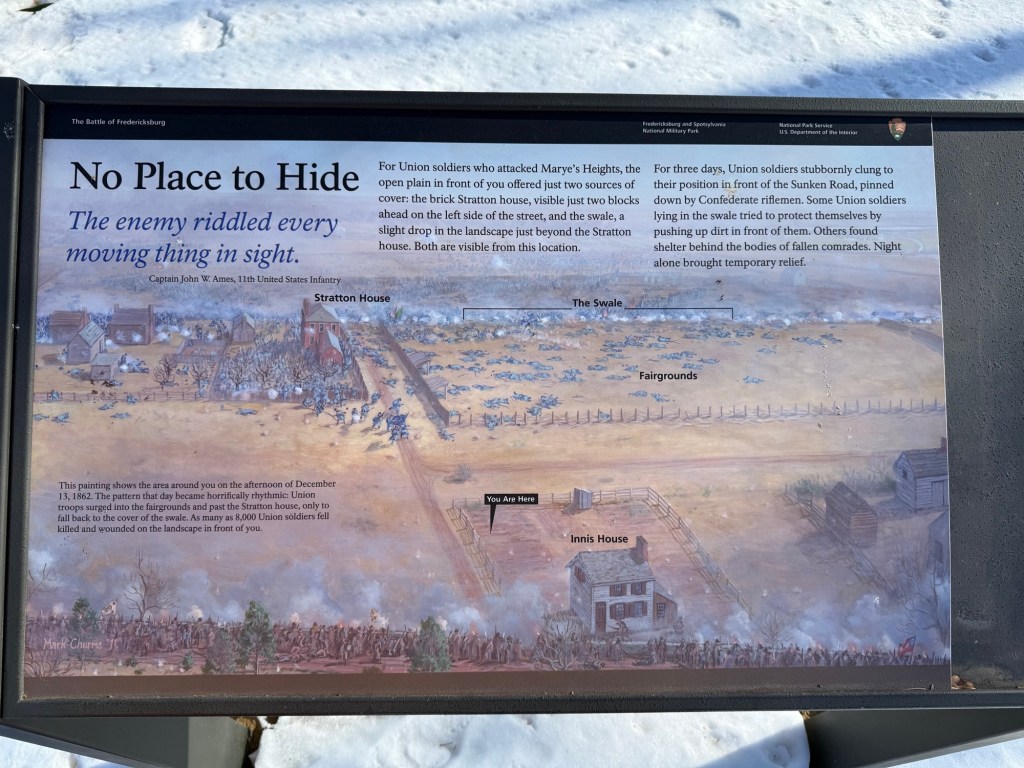
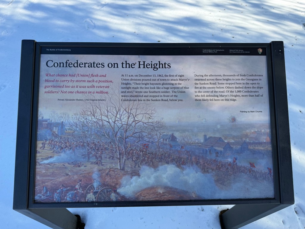
The Battle of Fredericksburg at Sunken Road lasted 4 days and is known as the largest and deadliest battle of the American civil war. It was a massacre of the Union forces. Here, the confederate army occupied ‘Marye’s Heights’, a hill that overlooks the town of Fredericksburg. This site gave them the advantage of height as well as cover on the “Sunken Road” which was a road with a small stone wall. It was literally an uphill battle for the Union soldiers who had very little to no cover climbing up the hill while being targeted. It was estimated that 20,000 soldiers died here (at least 13,000 of them being Union soldiers), but only 3000 were able to be identified.
Check out this short 4 minute video of a park ranger that explains more about the background surrounding this battle: https://www.britannica.com/video/overview-Battle-of-Fredericksburg-American-Civil-War/-224645
How much time do I need?
Fredericksburg and Spotsylvania National Military Park is a massive historic park. We only visited the Battle of Fredericksburg site at Sunken Road which is the main highlight of this park. It took us 2 hours to walk through the Sunken Road trail (see map further down this article) and read all of the information plaques. If you just walk the trail without reading anything, you’ll be done in less than 1 hour. We then spent another 15-20 minutes driving through the small town of Fredericksburg to see some of the other historic sites on the map, but the signage wasn’t very clear and the spots were easy to miss so we didn’t stay very long.
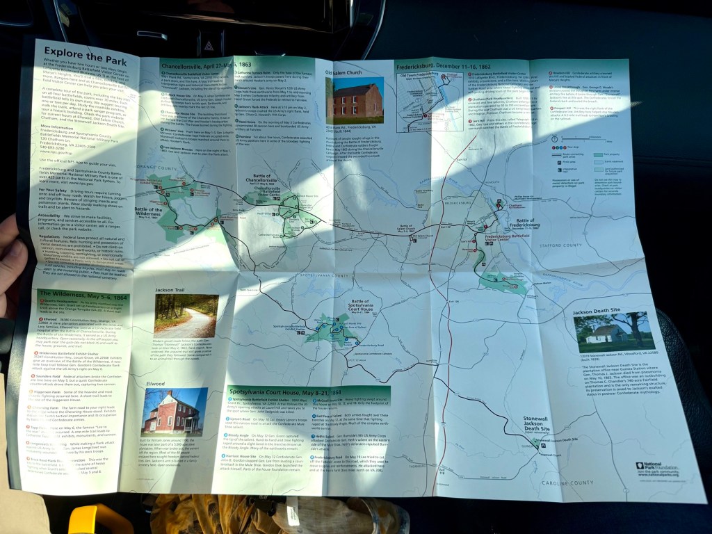
If you want to visit the other 3 battlefields in the massive Fredericksburg and Spotsylvania National Military Park (Chancellorsville, Spotsylvania, and Wilderness), I can’t say exactly how much time you’ll need for them since we didn’t visit, but I’ve heard some people say 1-2 days to see everything. I’ve attached a picture of the overall park map you can pick up from the visitors center to give you an idea of how big this place is. You can also find a pdf version of it here: https://www.nps.gov/frsp/images/FRSPmap1_1.jpg.
Best time of year to travel?
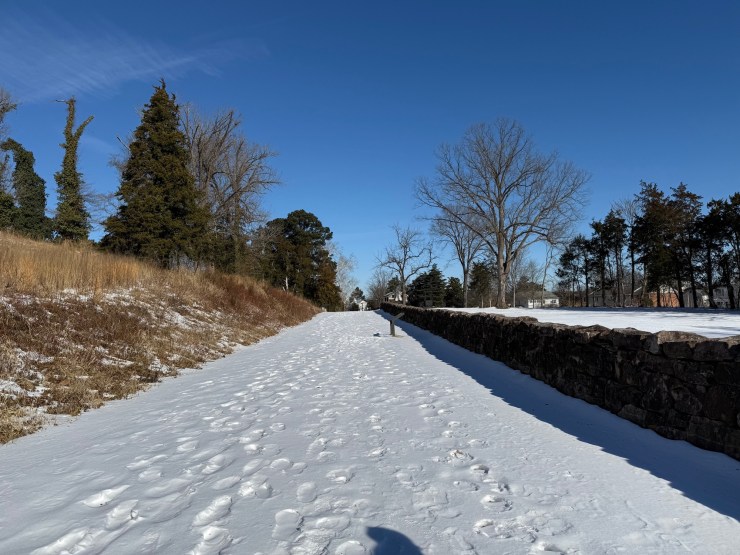
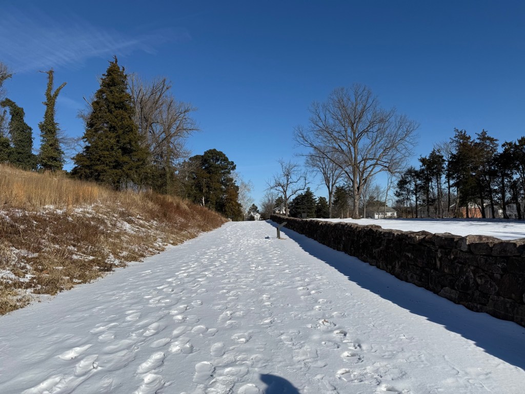
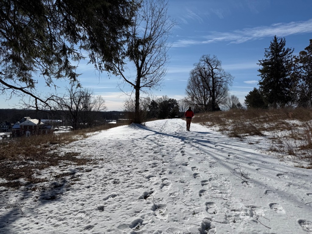
The historic park is open year-round, however the walking paths are not very well maintained in the winter, so keep that in mind if you’re visiting in the colder months. We visited in the middle of winter and had to walk over icy snow on the Sunken Trail and stepped in other people’s snowy footprints to make it up Marye’s Heights hill.
The best time to come is anytime where there’s no snow or ice cover on the ground.
Getting Around & Parking
Driving is the best way to get around. Park your car for free at the Ferdericksburg Battlefield Visitor Center (1013 Lafayette Boulevard, Fredericksburg, VA 22401) and the historic Sunken Trail path starts just behind the building.
What to Expect
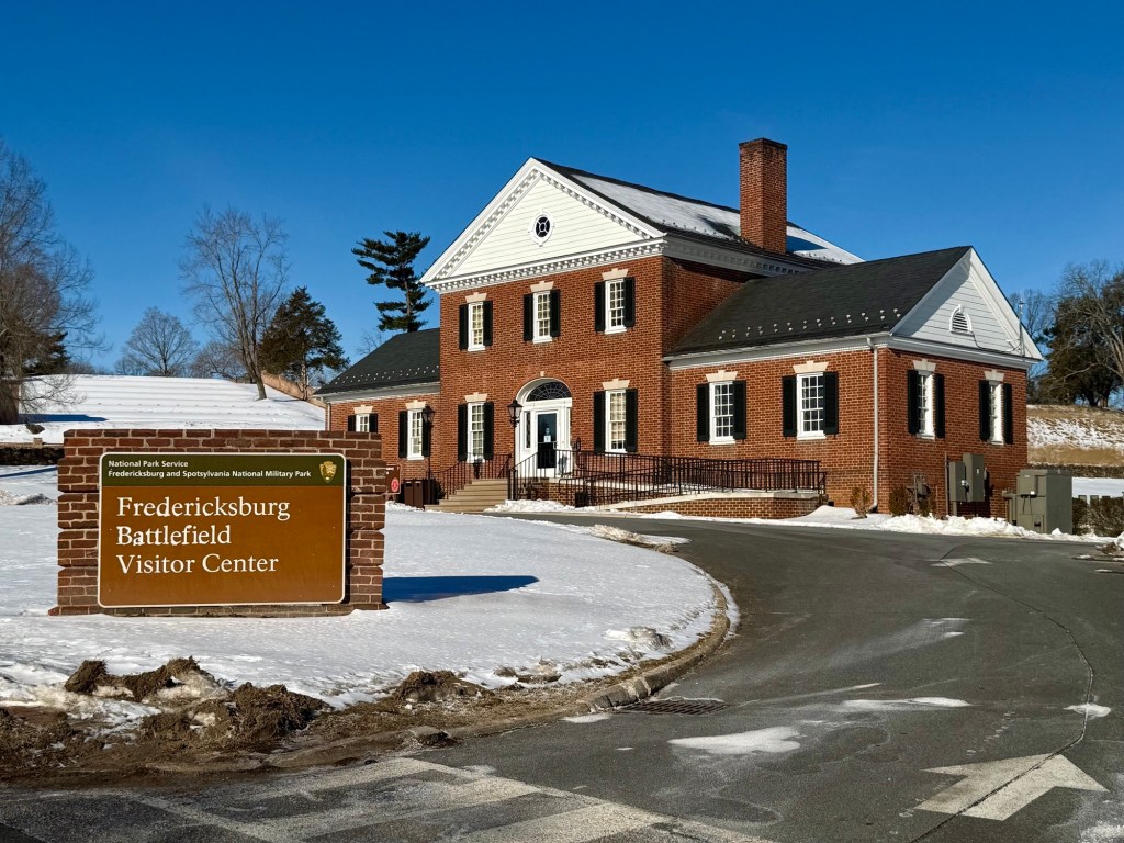
Start at the Fredericksburg Battlefield Visitor Center (1013 Lafayette Boulevard, Fredericksburg, VA 22401) where you’ll park your car. The main visitors center is temporarily closed until further notice for renovations, however they relocated into the smaller bookstore building next door. Here, there is a souvenir shop, bathrooms, and staff members you can speak to about the area and pick up a map. It’s open 9am-5pm. On the park website it says that they offer ranger tours at 10am, 11am, and 2pm (we weren’t here at the right time so we did a self-guided walk following the map).
Here’s a link to the park website for more pdf maps incase you can’t get your hands on one: https://www.nps.gov/frsp/planyourvisit/trails-brochures.htm
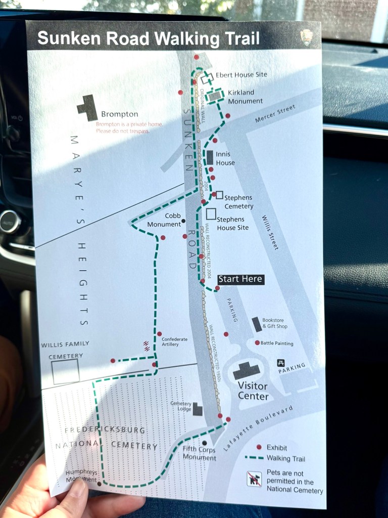
Below is a walking map of the Sunken Road Trail which is your guide to explore the battlegrounds. The path starts behind the visitors center on the “Sunken Road” where you parked your car. In this guide, I’ll walk you through this path and the things you’ll see along the way.
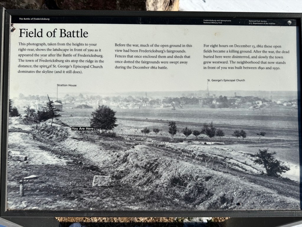
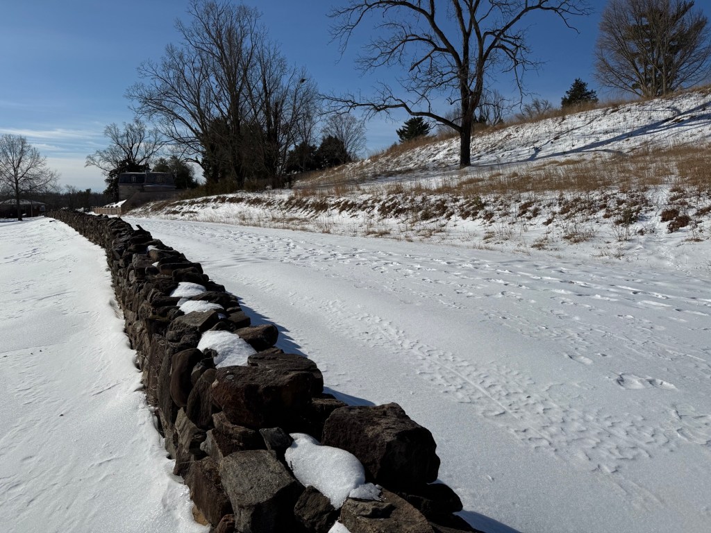
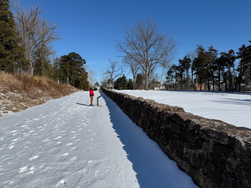
The Sunken Road was originally called ‘Country Road’ or ‘Telegraph Road’ and was a normal everyday road used by farmers to transport crops into town and locals to visit neighbours. This road had a short stone wall and was built along the side of ‘Marye’s Heights’ hill. Sunken Road was the perfect position for the confederate soldiers to take cover by the shield of the stone wall while taking aim at the charging Union soldiers to defend the hill.
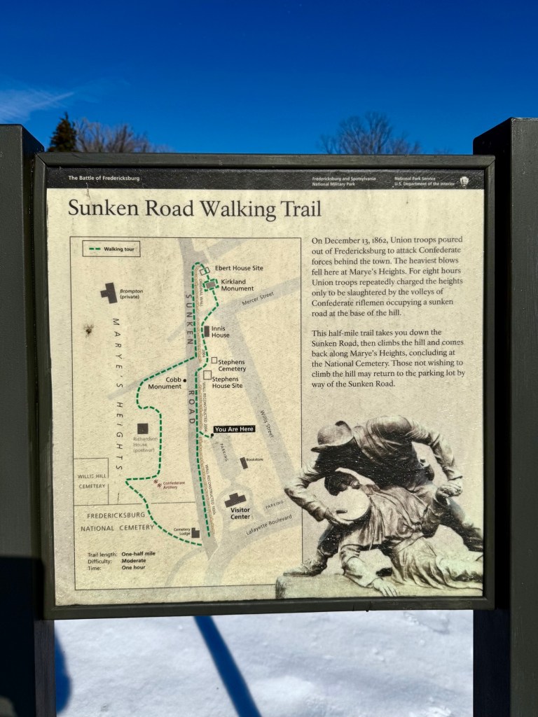
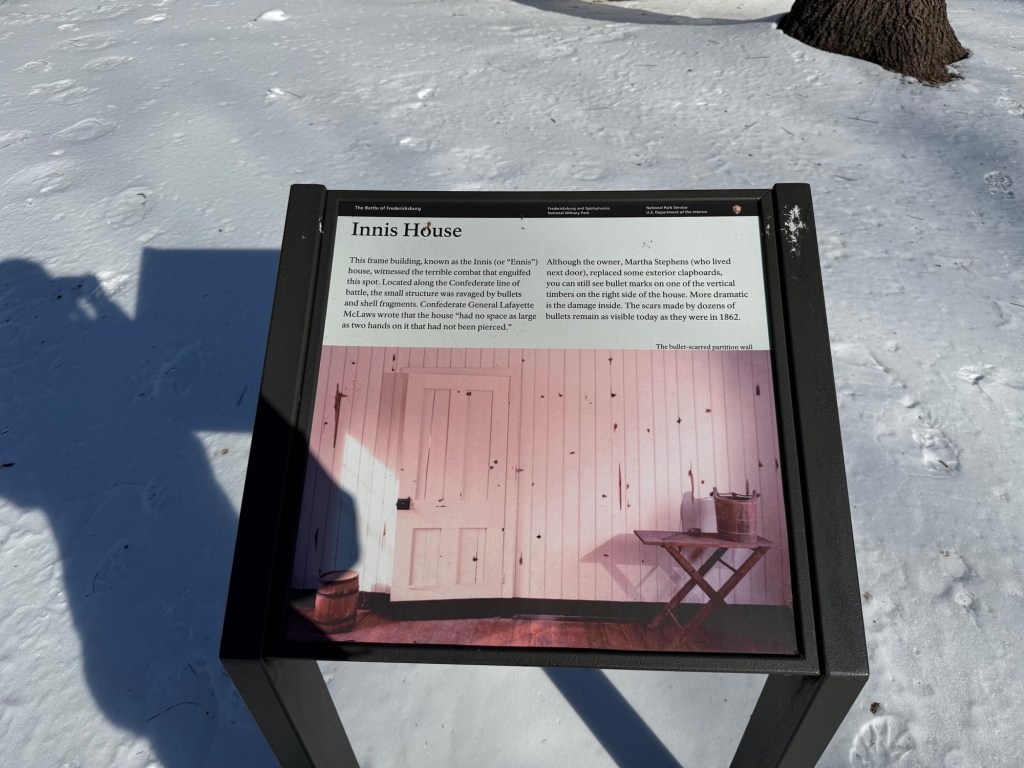
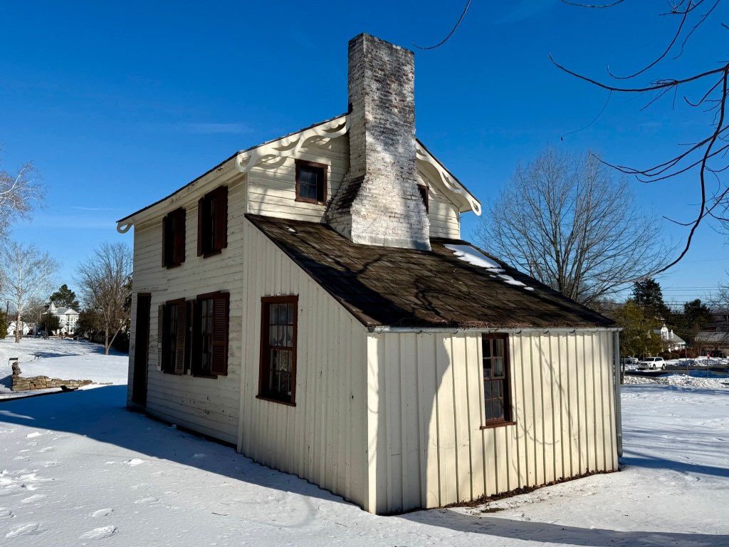
As you follow the walking trail map, you’ll pass by the Innis House. This house was present during the roaring Battle of Fredericksburg and you can see evidence of bullet holes and shell fragments on the walls! The outside panels have been replaced overtime, but you can peek your head in the window and see all the bullet holes on the interior walls.
Next you’ll pass by Kirkland Monument, which is a large statue dedicated to “the angel of Marye Heights”, Seargent Richard Kirkland. This young confederate soldier heroically crossed over the Sunken Road walls to aid wounded enemy Union soldiers.
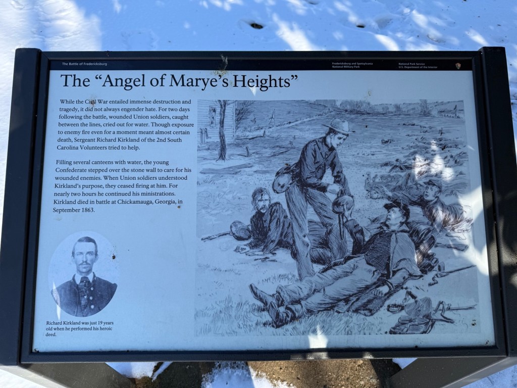
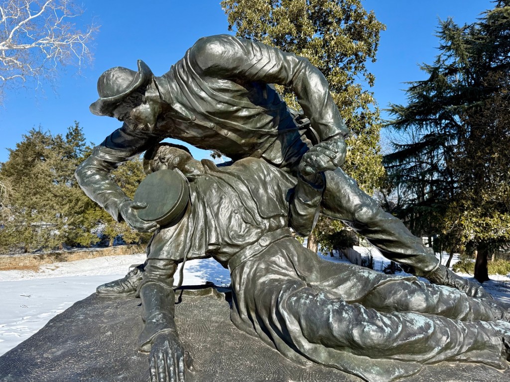
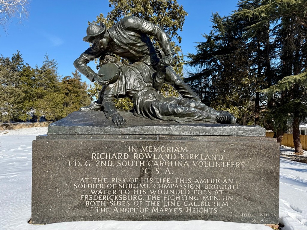
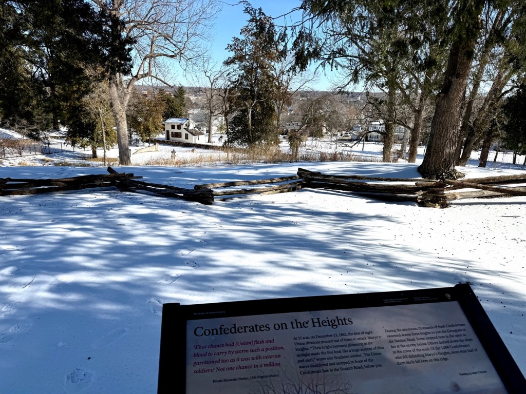
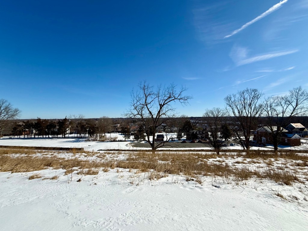
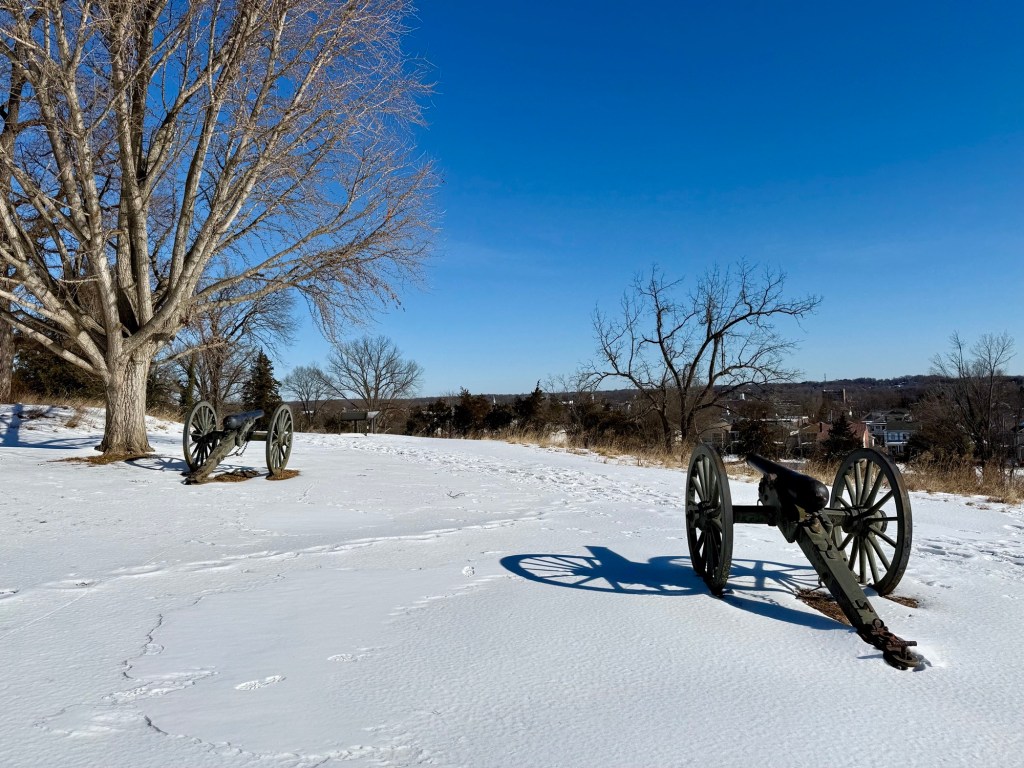
Next you’ll continue to path and U-turn up towards the top of Marye’s Heights. Here you’ll get a view of the land below and what it would’ve been like to be a confederate soldier looking down below towards the Union soldiers charging uphill. There was minimal cover for them and it was no wonder why this was a massacre.
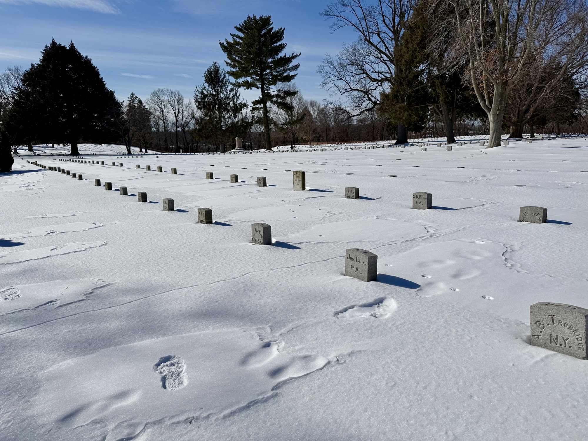
At the end of the walking path, you’ll come across the Fredericksburg National Cemetery with thousands of small granite headstones that mark the graves of both identified and unknown solders.
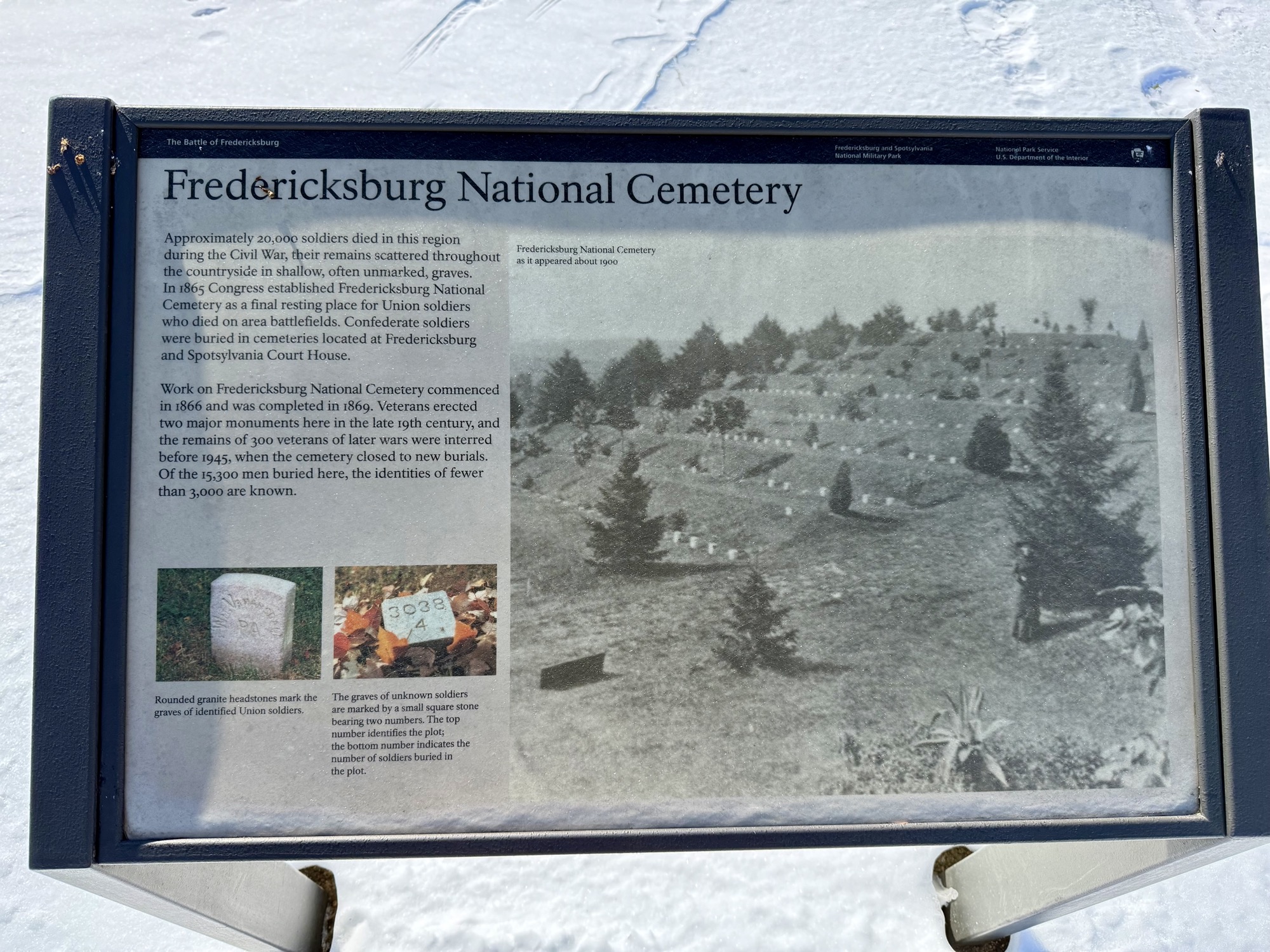
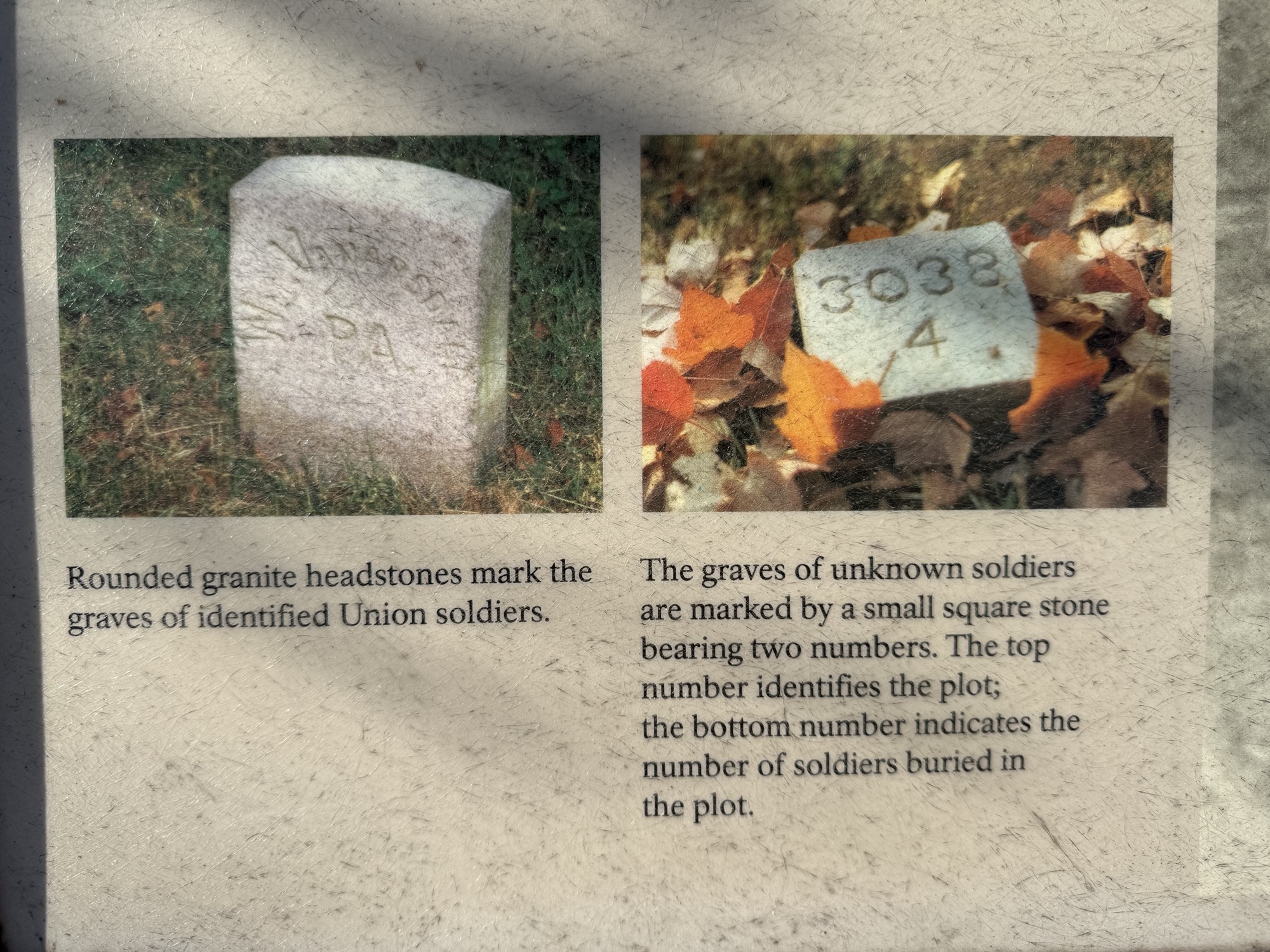
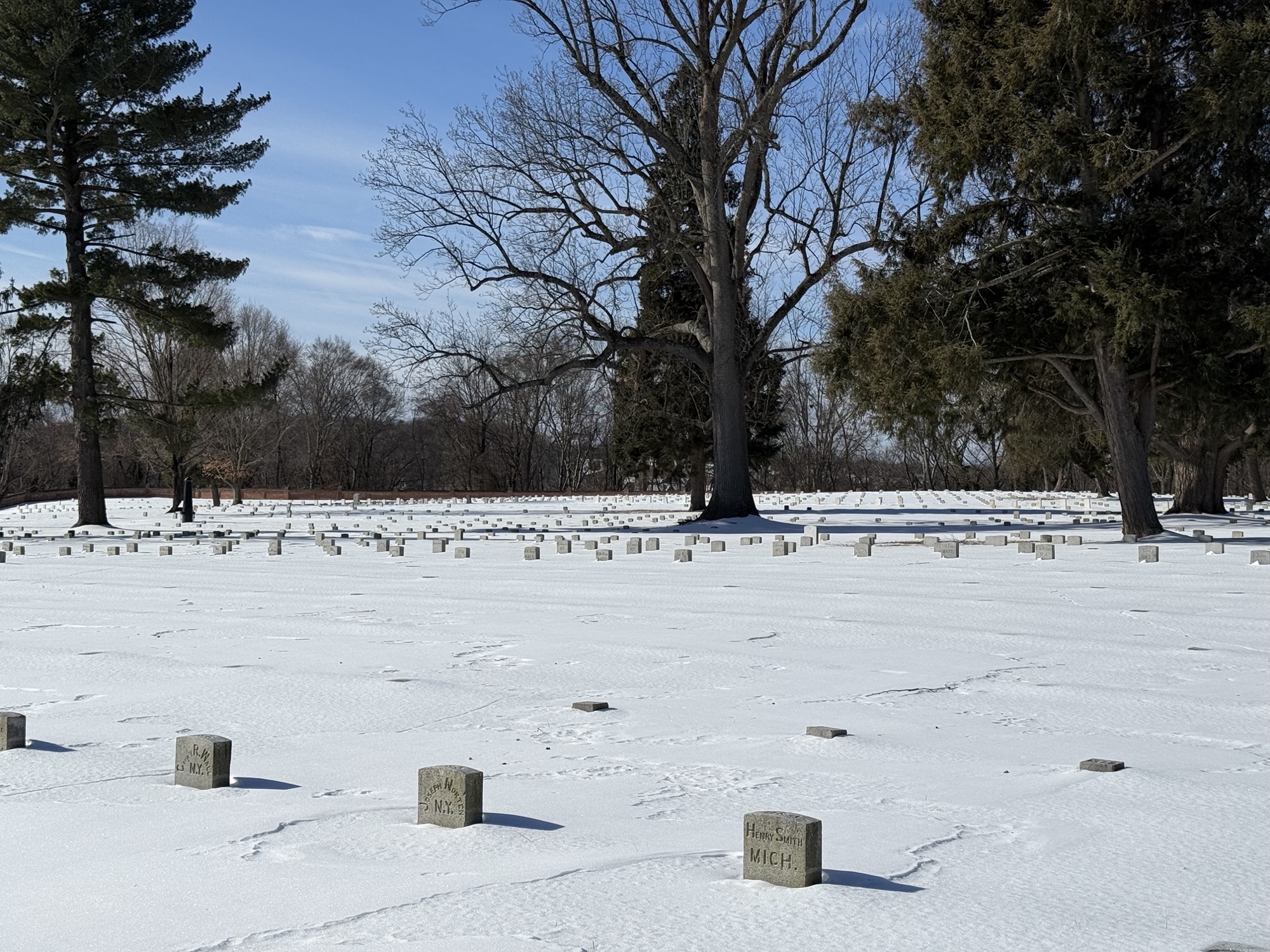
After the cemetery, you’ll intersect with the Sunken Road again briefly before heading back to the parking lot at the visitors center.
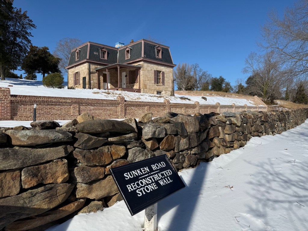
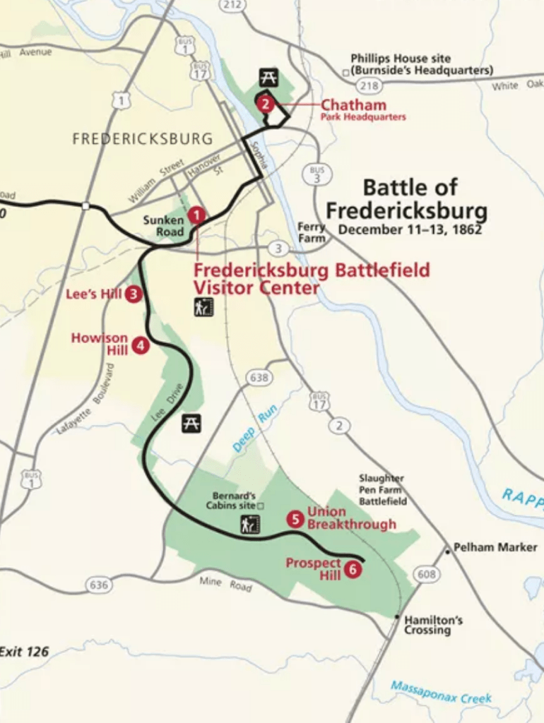
After Sunken Road, we did a mini self-guided driving tour of a few historical battle spots around town – see the map below. The sites weren’t very well marked and was easy to miss so we didn’t spend much time at them.
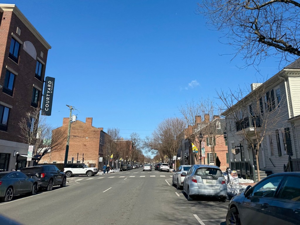
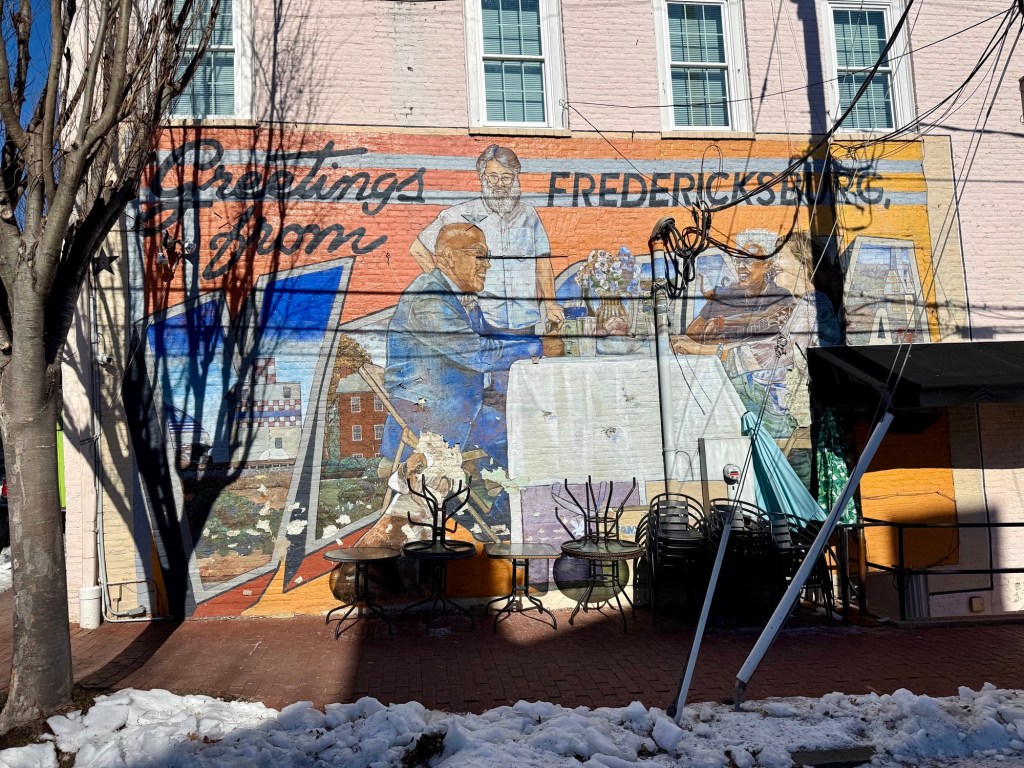
We also drove through downtown Fredericksburg which wasn’t all that exciting – many of the shops were closed or for rent.
Some Final Thoughts
- The historic site at Sunken Road marks one of the bloodiest battles in the civil war. If you’re not that into American history, then maybe give this a skip. We’re not history buffs, but we enjoy visiting historical places to learn about significant events that helped shape this nation.
- Consider a guided tour at the posted times if you want to avoid reading the information plaques.
- Have proper footwear if you’re going to visit in the colder months since the trails are not very well maintained.

